
파일:Position of Tasman Region.png
최대 해상도입니다.
Position_of_Tasman_Region.png (405 × 590 픽셀, 파일 크기: 7 KB, MIME 종류: image/png)
파일 역사
날짜/시간 링크를 클릭하면 해당 시간의 파일을 볼 수 있습니다.
| 날짜/시간 | 섬네일 | 크기 | 사용자 | 설명 | |
|---|---|---|---|---|---|
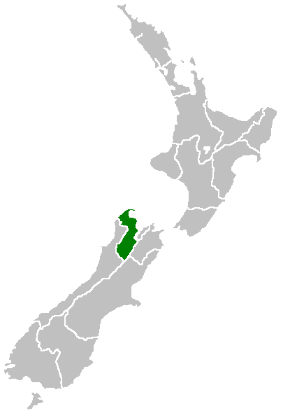
| 현재 | 2005년 4월 27일 (수) 16:41 | | 405 × 590 (7 KB) | Domie~commonswiki | Region of New Zealand, position on the map (source:English Wiki) {{PD}} Category:Maps of New Zealand |
이 파일을 사용하는 문서
이 파일을 사용하고 있는 모든 위키의 문서 목록
다음 위키에서 이 파일을 사용하고 있습니다:
- en.wikipedia.org에서 이 파일을 사용하고 있는 문서 목록
- Lake Rotoroa (Tasman)
- Mount Owen (New Zealand)
- Rotoroa, New Zealand
- Kahurangi Point
- Bulmer Cavern
- Cape Farewell, New Zealand
- Lake Matiri
- Abel Tasman Inland Track
- Template:Tasman-geo-stub
- Lake Constance (New Zealand)
- Saint Arnaud Range
- Lake Sparrow
- Granity Pass
- Matiri Project
- Spenser Mountains
- Sabine Valley
- User:MSGJ/Wairoa River, Tasman
- Hope Saddle
- Ellis Basin cave system
- Waimea County
- Takaka County
- Mount Franklin (Tasman)
- Split Apple Rock
- Tinline Bay
- Motuareronui / Adele Island
- Tonga Island
- Bronte, New Zealand
- Pūponga
- Ngārua Caves
- Woodstock, Tasman
- Waimea Inlet
- Murchison County, New Zealand
- Golden Bay County
- Collingwood County
- Golden Bay Ward
- Lakes-Murchison Ward
- Motueka Ward
- Moutere-Waimea Ward
- Richmond Ward
- Motupipi
- Dovedale, New Zealand
- Mahana, New Zealand
- Rotoiti Mainland Island
- Patons Rock
- Upper Tākaka
- Bell Island (New Zealand)
- Armchair Island
- Ballon Rock
- Bird Island (Tasman Region)
- Awaroa River (Tasman)
이 파일의 더 많은 사용 내역을 봅니다.