
파일:Worcestershire UK location map.svg

SVG 파일의 PNG 형식의 미리보기 크기: 677 × 600 픽셀. 다른 해상도: 271 × 240 픽셀 | 542 × 480 픽셀 | 867 × 768 픽셀 | 1,156 × 1,024 픽셀 | 2,313 × 2,048 픽셀 | 1,425 × 1,262 픽셀
원본 파일 (SVG 파일, 실제 크기 1,425 × 1,262 픽셀, 파일 크기: 1.8 MB)
| 설명 |
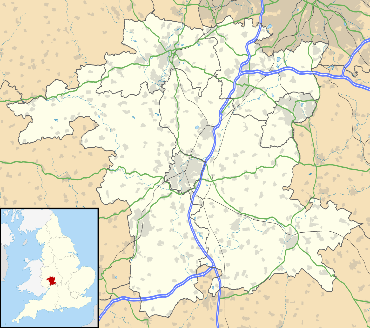
Map of Worcestershire, UK with the following information shown:
Equirectangular map projection on WGS 84 datum, with N/S stretched 160% Geographic limits:
|
| 날짜 | |
| 출처 |
|
| 저자 | Nilfanion, created using Ordnance Survey data |
| 저작권 (이 파일을 인용하기) |
이 파일은 크리에이티브 커먼즈 저작자표시-동일조건변경허락 3.0 Unported 라이선스로 배포됩니다. 저작자표시: Contains Ordnance Survey data © Crown copyright and database right
|
| 다른 버전 | File:Worcestershire UK district map (blank).svg - Blank map |
.svg)
파일 역사
날짜/시간 링크를 클릭하면 해당 시간의 파일을 볼 수 있습니다.
| 날짜/시간 | 섬네일 | 크기 | 사용자 | 설명 | |
|---|---|---|---|---|---|
| 현재 | 2010년 9월 27일 (월) 04:20 | | 1,425 × 1,262 (1.8 MB) | Nilfanion | {{Information |Description=Map of Worcestershire, UK with the following information shown: *Administrative borders *Coastline, lakes and rivers *Roads and railways *Urban areas Equirectangular map projection on WGS 84 datum, with N/S |
이 파일을 사용하는 문서
다음 문서 2개가 이 파일을 사용하고 있습니다:
이 파일을 사용하고 있는 모든 위키의 문서 목록
다음 위키에서 이 파일을 사용하고 있습니다:
- ar.wikipedia.org에서 이 파일을 사용하고 있는 문서 목록
- bg.wikipedia.org에서 이 파일을 사용하고 있는 문서 목록
- ceb.wikipedia.org에서 이 파일을 사용하고 있는 문서 목록
- en.wikipedia.org에서 이 파일을 사용하고 있는 문서 목록
- Kidderminster
- Battle of Worcester
- Worcester Cathedral
- Droitwich Spa
- Evesham
- Bromsgrove
- Bewdley
- Malvern, Worcestershire
- Pershore
- Upton-upon-Severn
- Stourport-on-Severn
- Stoke Heath, Worcestershire
- Tenbury Wells
- Barnt Green
- Great Malvern
- Bredon
- Wythall
- Hollywood, Worcestershire
- Lindridge
- Abberley
- Malvern Wells
- Hartlebury
- Bordesley, Worcestershire
- Wadborough
- Malvern Link
- Tardebigge
- Shelsley Walsh
- Barnards Green
- Pinvin
- Broadway, Worcestershire
- The Fleece Inn
- Droitwich Transmitting Station
- Eckington, Worcestershire
- Alvechurch
- Areley Kings
- Leigh, Worcestershire
- Romsley, Worcestershire
- Lickey
- Lickey End
- Cofton Hackett
- Upper Arley
- Kempsey, Worcestershire
- List of places in Worcestershire
- Hopwood, Worcestershire
- Ryall, Worcestershire
- Hopwood Park services
이 파일의 더 많은 사용 내역을 봅니다.